 Location: Lug
Roman name: Albanum
Site type: fort, necropolis
Dating: 3rd – 4th c.
Surface: less than 2 ha
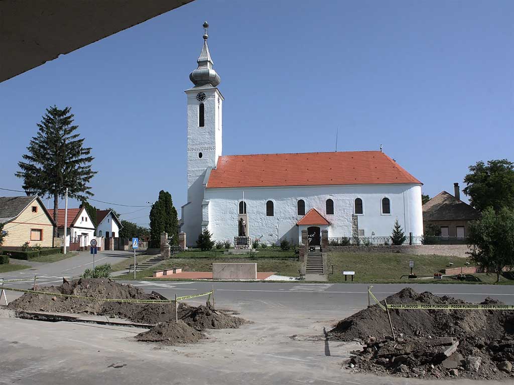
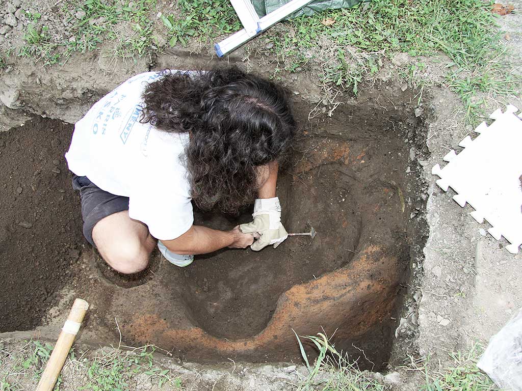
In the middle of Lug in Baranja, there is an elliptical multilayered settlement with a deep ravine on the west, north and east side. The multi-layered site dominated the swampy terrain of the loess terrace towards the north. In the 18th c., the present-day Reformist Church with several Roman spolia was built on top of an existing sacral building. In 1944, Hungarian archaeologists conducted excavations in Lug and in 1987, rescue archaeological excavations were undertaken by K. Minichreiter. On a few occasions, the site was excavated without archaeological supervision and without the approval of the Regional Conservation department. During rescue excavations along the gas pipeline in 2013, two graves were found that could be attributed to soldiers garrisoning the fort-federates of Goth origin from the 4th c. Numerous remains of Roman roof tiles were also found.

The site was partially examined by a georadar survey in 2013 (I. Vukmanić, B. Mušič). According to a document called Notitia dignitatum, fort Albanum in the 4th c. was a military station for the equites Dalmatae.